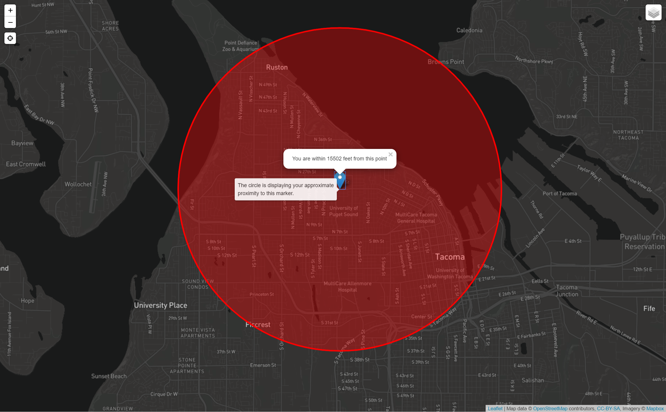
In this project, we practiced making web maps that recognize and are designed for both the unique constraints of mobile devices and their unique affordances. We created a map that places a marker on the map based on the locational information provided by a user's device, include signifiers that indicate to the user the accuracy of their device's locational information, add functionality that switches the base map between light and dark based on whether the sun is up at the user's location, and utilize various other design conventions that optimize mobile map use.
This lab also asked us to read relevant documentation on the technologies used and to answer a few questions about that documentation in order to assess our understanding of its contents.
-
17 January 2020
-
Professor:
Dr. Emma Slager
-
Posted by:
Isaac Van Mechelen

